
MAPPING & LOCATION INTEGRATIONS
Improve Job Planning and Navigation with Connected Mapping
Join the 100+ companies and 100,000+ users using Depotnet right now.











CONNECTED LOCATION TOOLS
Turn Location Data Into Better Field Delivery.
Use trusted mapping and location services within Depotnet to give teams clearer geographic context from planning through to arrival on site.
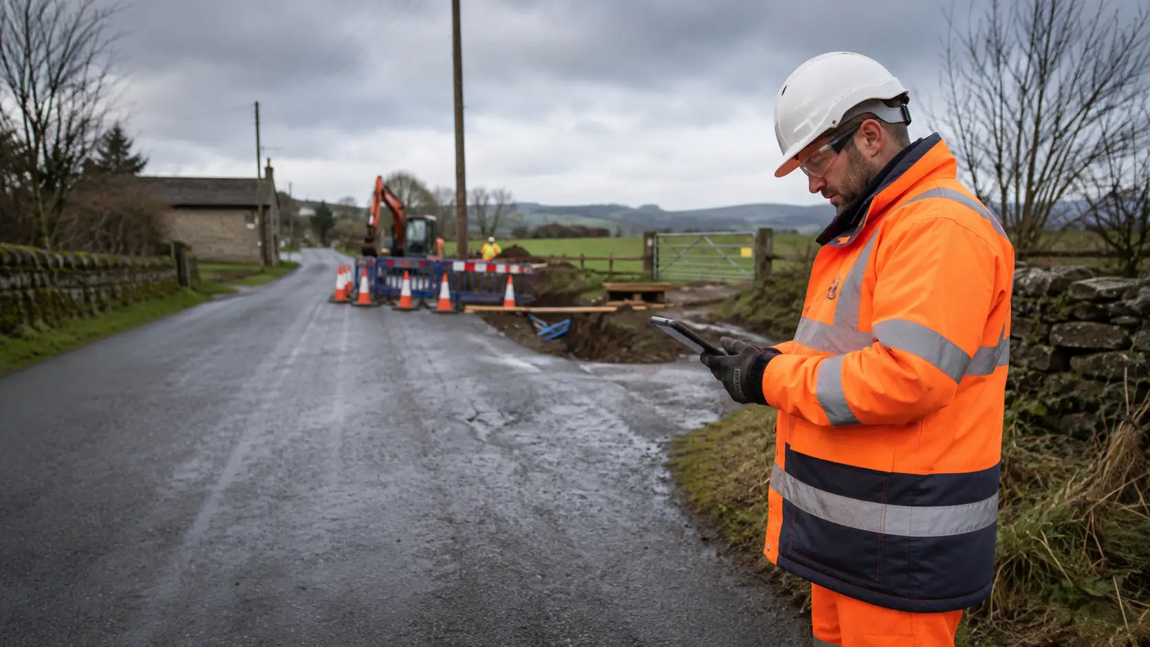
1. Plan With OS Mapping
Use detailed Ordnance Survey mapping for accurate planning and verification before work begins.
2. Navigate With Google Maps
Help field teams reach job locations efficiently using familiar routing and live traffic information.
3. Pinpoint With What3Words
Identify precise work locations using a unique three-word address for a specific 3 metre square.
MAPPING INSIGHTS
Reduce Location Errors Across Every Job.
Give teams the visibility and structure they need to manage underground asset risk consistently before excavation begins.
Improve Planning with OS Data
- Add detailed geographic context to jobs
- Improve confidence in location planning
- Reduce reliance on less detailed mapping
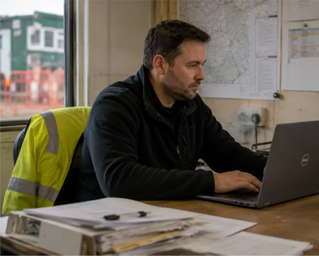
Reduce Time Lost Travelling to Site
- Account for current traffic conditions
- Improve route and ETA accuracy
- Reduce avoidable travel delays
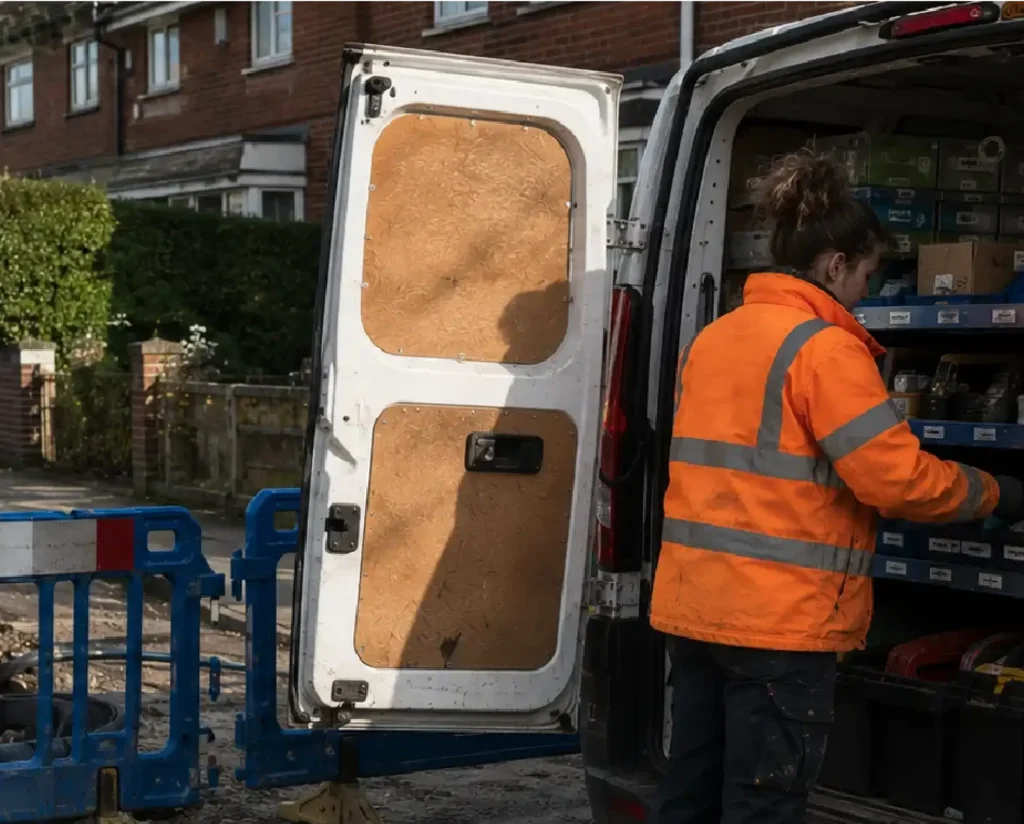
Find Exact Locations First Time
- Locate hard-to-find work areas
- Reduce ambiguity around site locations
- Share precise positions consistently
Mapping and Location Integrations FAQs
Depotnet integrates with Google Maps, Ordnance Survey and what3words to support job planning, navigation and precise location identification.
Google Maps supports route navigation to job locations, helping field teams reach sites using familiar mapping and live traffic information.
Ordnance Survey mapping provides detailed geographic data to support more accurate planning, location verification and understanding of the surrounding work area.
What3Words gives precise 3 metre squares a unique three-word reference, helping teams identify and share exact work locations through Depotnet.
Traditional addresses may not identify the exact entrance, asset or work area required. what3words helps teams pinpoint a much more precise location.